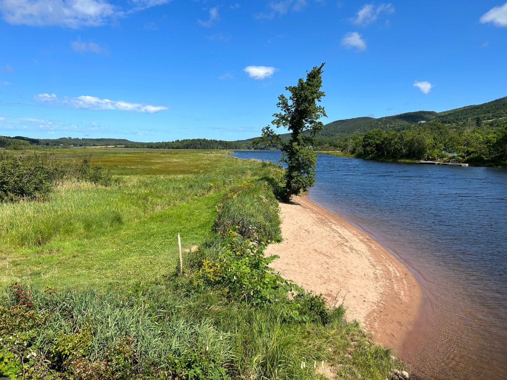
Following up from Pat’s post of his day fishing the Margaree, I have to agree The Margaree is a very beautiful river and valley.
As we leave Inverness, heading north, we join the Cabot Trail at Margaree Forks.
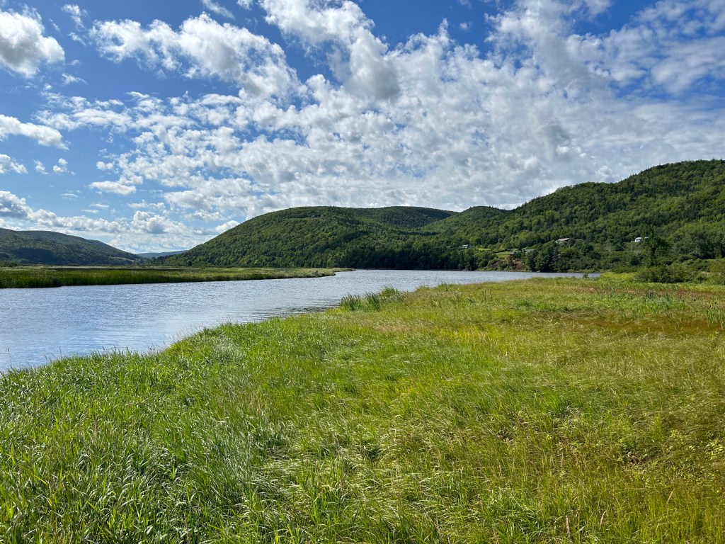
We have a three day window before another storm hits the Maritimes so our plan is to drive the Cabot Trail clockwise ending up in Ingonish (East side of the national park).
Logistics are: camp at Cheticamp for a night, then head to the top of Cape Breton – a place called Meat Cove – for a night before landing in Ingonish just ahead of any rain 🤞.
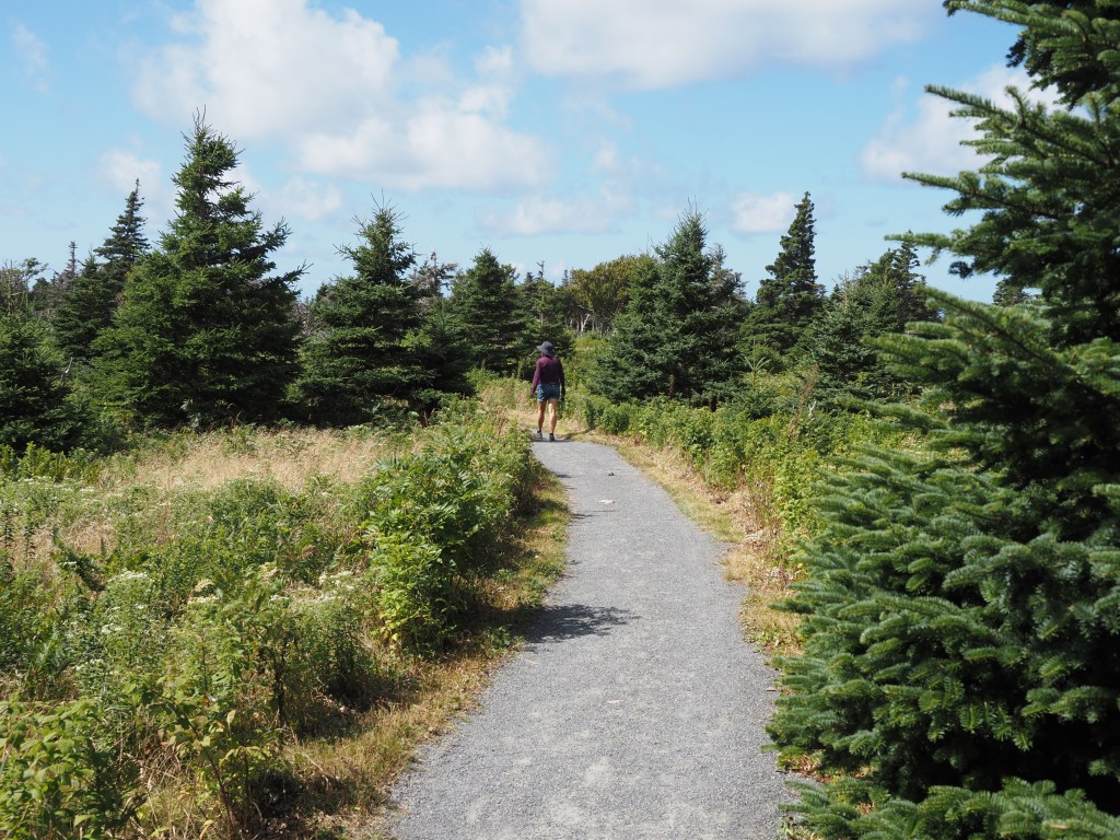
Today our destination is The Skyline Trail and Cheticamp for our base camp.
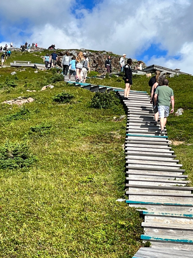
This trail is the most popular in all of Cape Breton National Park. The walk in to the boardwalk is fairly interesting.
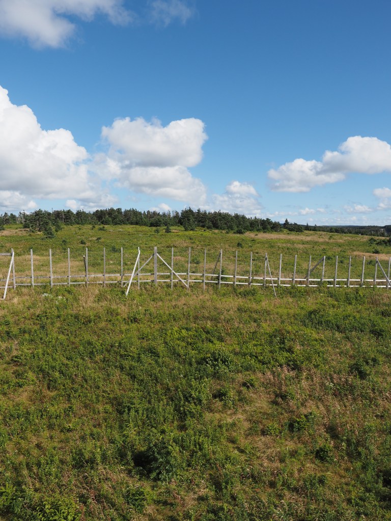
Moose have decimated areas of the park such that the boreal forest is disappearing; upending the flora and fauna ‘balance’. To mitigate these changes Parks Canada has created an enclosure to keep the moose out and rehabilitate the protected area.
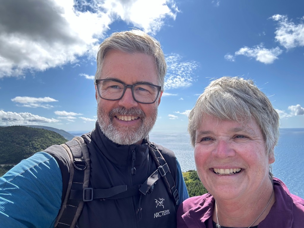
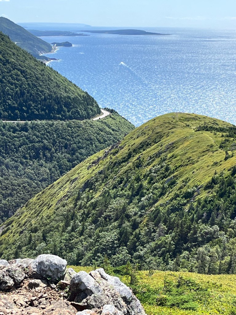
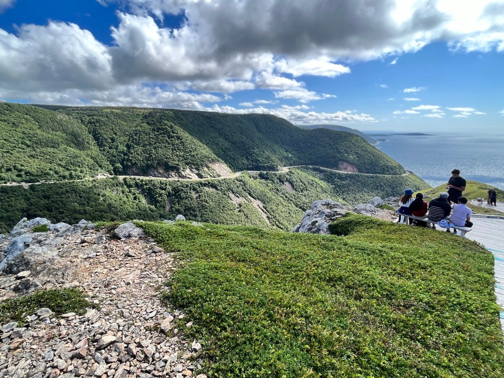
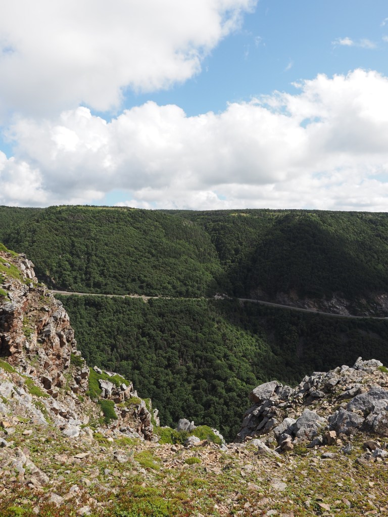
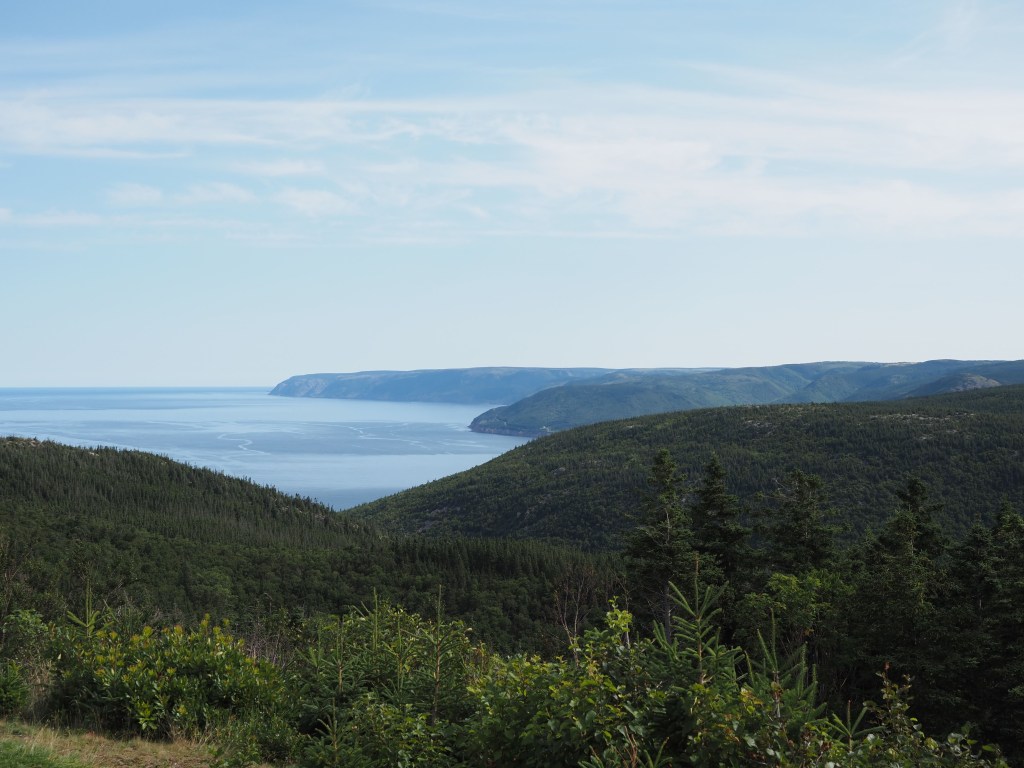
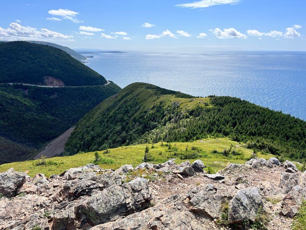
The highlight of the trail is the ridge you walk along following a boardwalk. That ridge affords stunning views looking south and west.
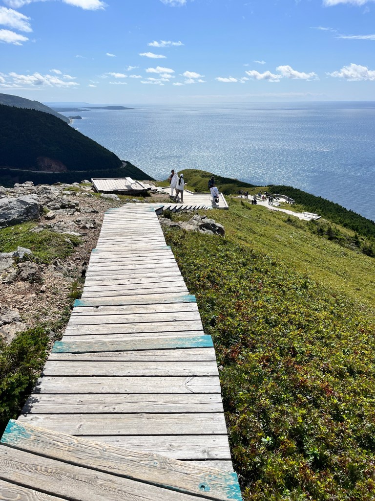
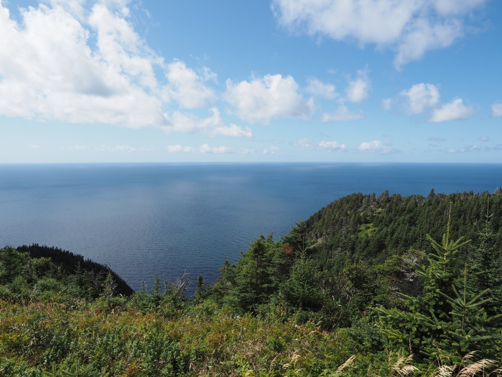
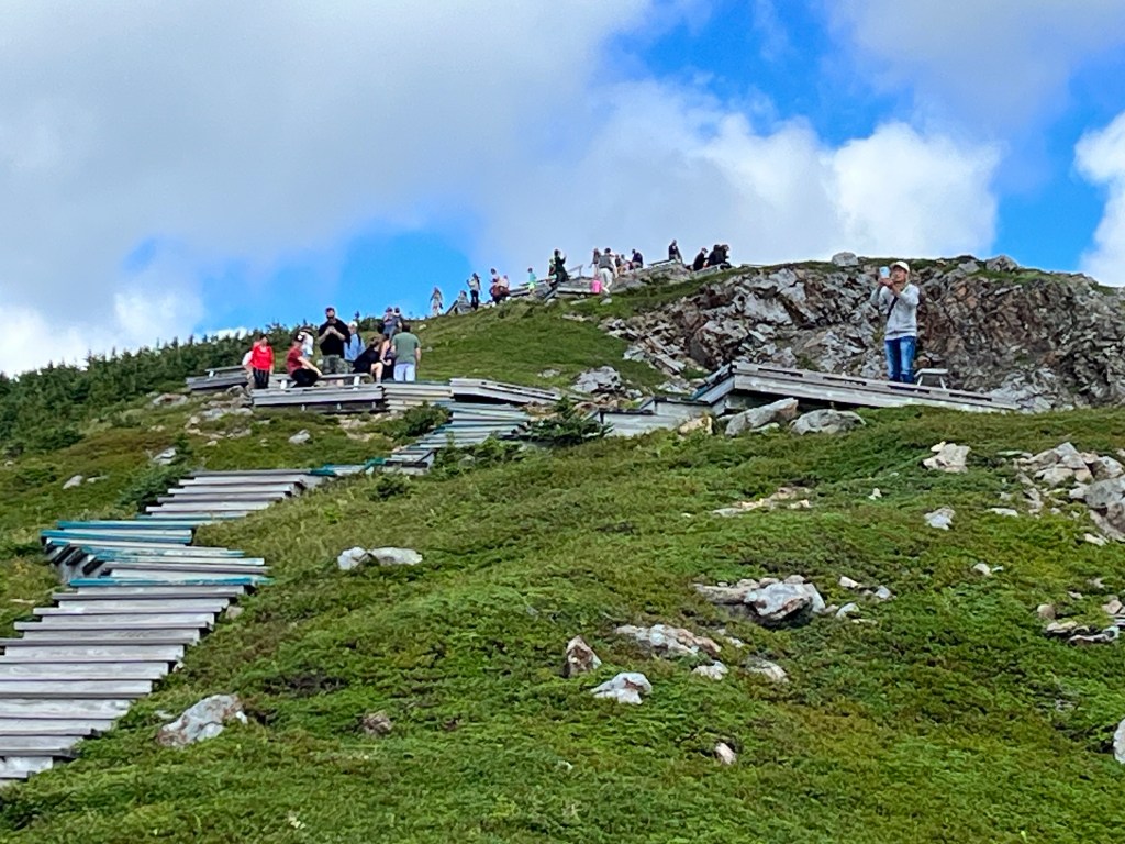
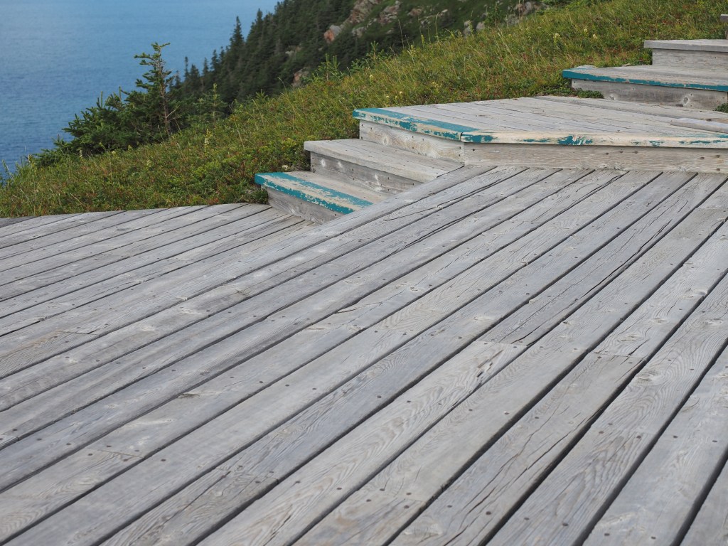
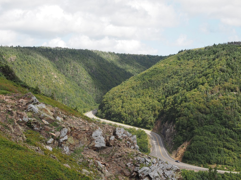
More photos taken from the boardwalk follow.
The images of the highway carved out of the mountainside and snaking it’s way through the park evoke memories of driving The Going to the Sun highway in Glacier National Park, Montana.
Our campsite at Cheticamp. Brilliantly, we are about 500 meters from an EV charger. Almost perfect; we didn’t request the little black flies that came with the campsite. Oh well.
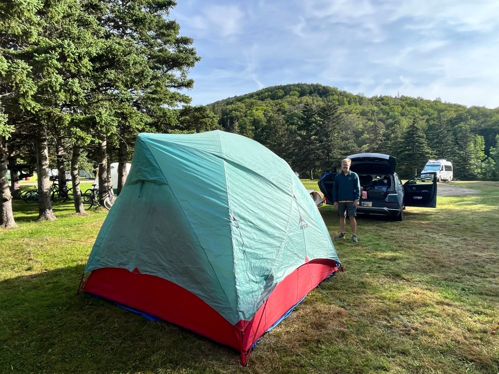
We pitched the tent, hopped in the car and went for dinner in town.
I was up in the night and as I left the tent I couldn’t get over the dark, clear night sky. The Big Dipper greeted me as I walked to the comfort station.
The next morning we carry on along the Cabot Trail. Here is another panorama near Pleasant Bay. Then we head inland.

Leave a comment