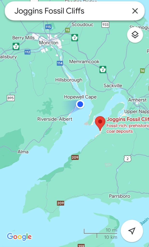
For the past two weeks we’ve been circling the Bay of Fundy on the New Brunswick side. This morning we drive back into Nova Scotia. We are heading to Joggins Fossils (a UNESCO designated area). Alma to Joggins is 170 km. Or 40 km if you fly 🦅.
Fun fact – the Chignecto Isthmus is the border between New Brunswick and Nova Scotia. Only 21 km wide with Fundy (Chignecto Bay) on the west side and Northumberland Straight on the east. It contains important marsh and farmland. With significant sea rise Nova Scotia would become an island. Flooding is already an issue – impacting people, but also many species of birds and animals. During post tropical storm episodes flooding risk is very high.
Chignecto is derived from the Mi’kmaq word Siknikt meaning drainage place and referring to this large marsh.
There are national historic sites in this area. For the French and Acadians, this territory linked Quebec, Grand Pre and Louisbourg. In the 1700’s French and English battled for this significant real estate. Not surprisingly forts were established only 6 km apart. Fort Beausejour / Fort Cumberland on higher ground in New Brunswick and the Acadian village of Beaubassin / later Fort Lawrence further south in Nova Scotia.
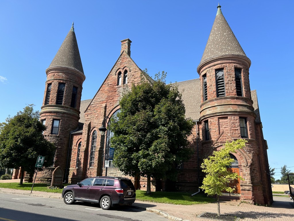
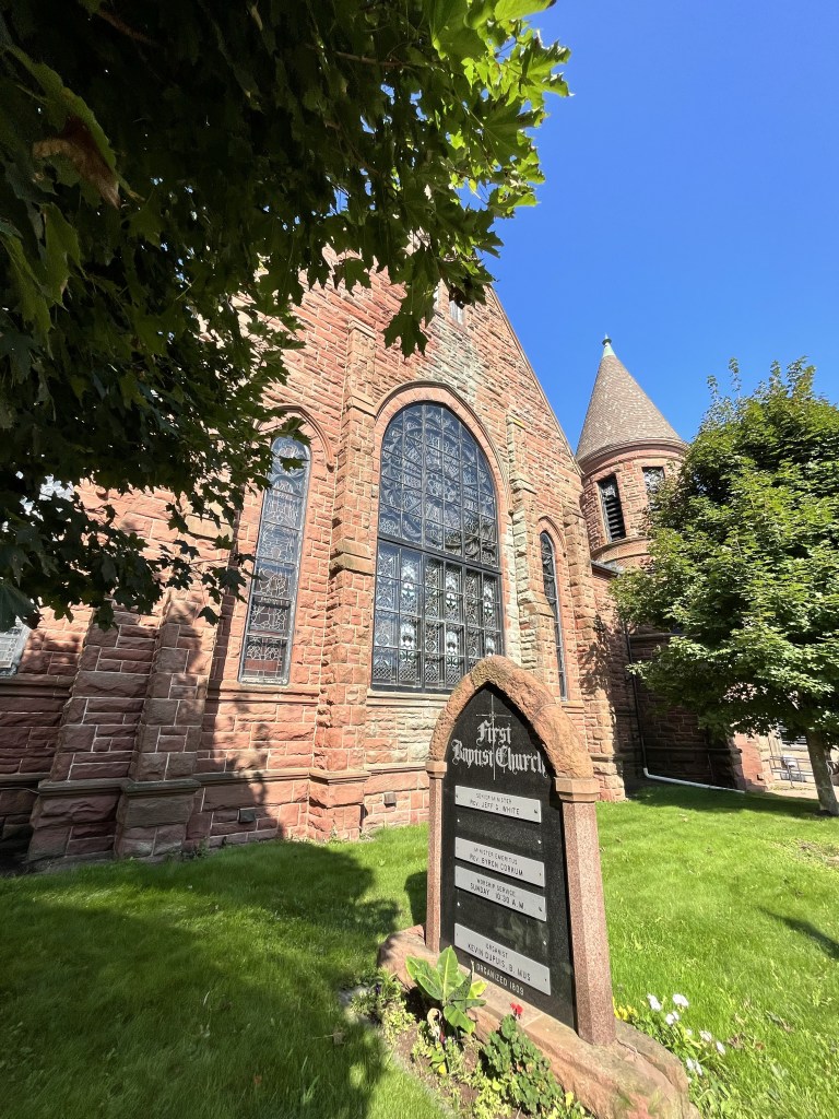
Amherst
We stop for lunch at The Art of Eating for (you guessed it) seafood chowder. Yum!

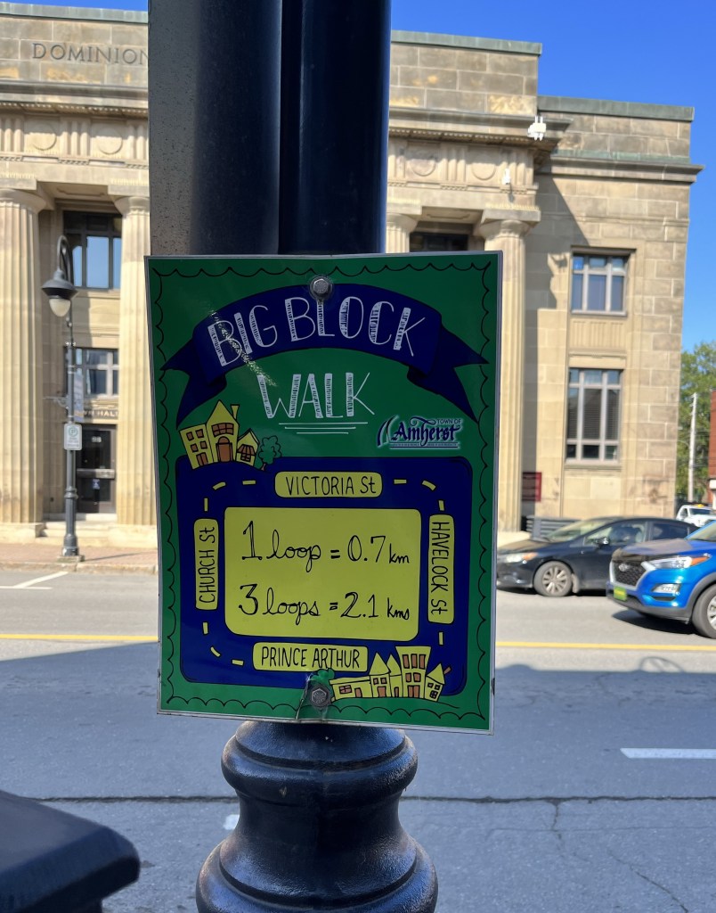
Amherst’s downtown is lovely. Historic buildings are celebrated.
Built in 1934-38, the Dominion Public Building was a post office for 4 decades. It was built during the depression, as were many post offices, to provide local jobs using local materials. We have seen some wonderful old post offices throughout the Maritimes.
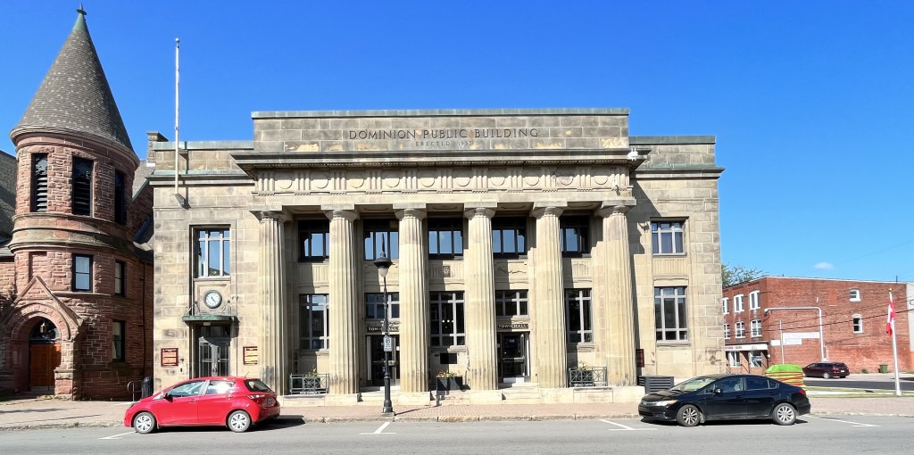
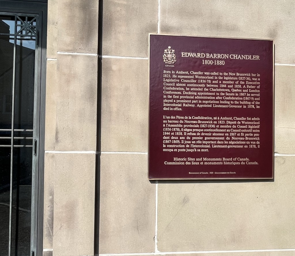
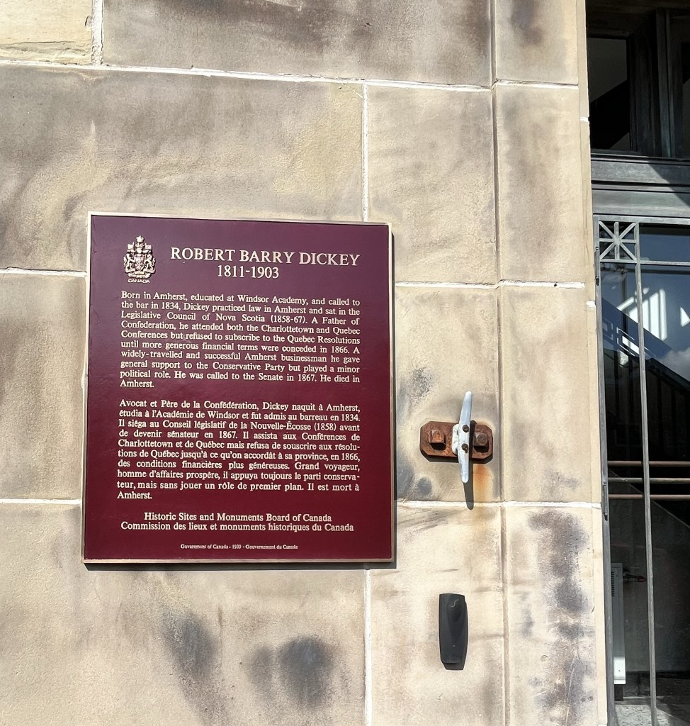
Not surprising, two founding fathers of Canada’s confederation were from Amherst. Edward Chandler and Robert Dickey are commemorated on the Dominion’s exterior.
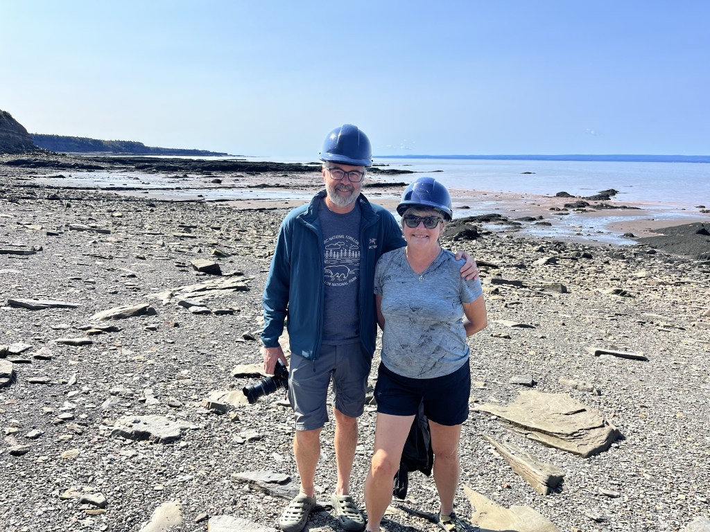
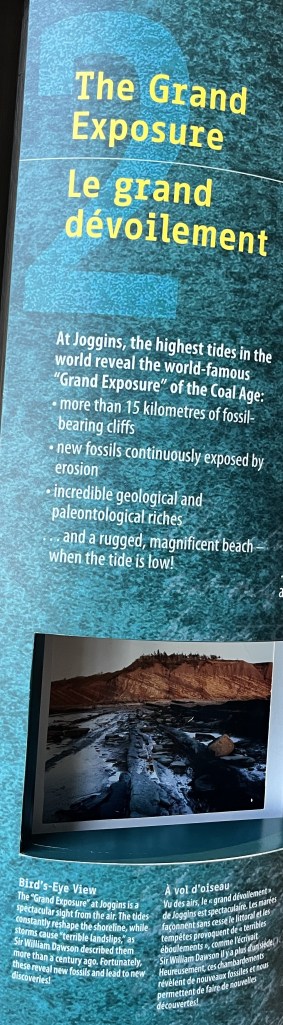
Joggins Fossil Cliffs
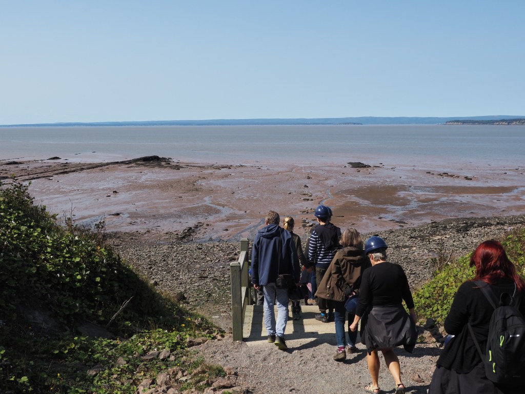
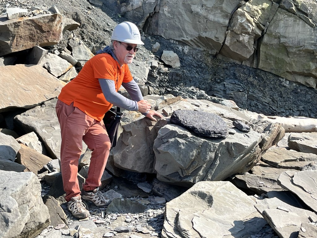
Today is the last day of summer and we have a beautiful day to walk the Joggins beach. Our tour guide Dana is incredibly knowledgeable.
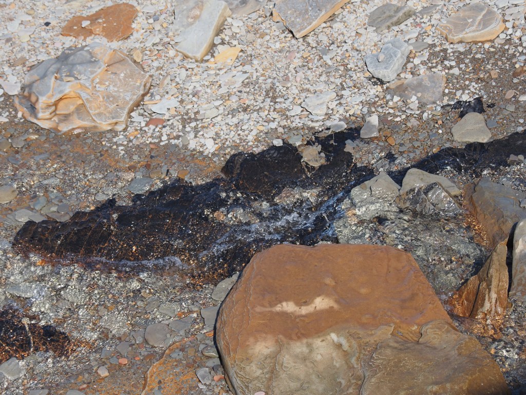
Before talking about the fossils, Dana gives a history of Joggins as a coal rich mining area. There were 40 mines in the Joggins area. Given the Fundy tides, ships came in at high tide and were quickly loaded and out again. Coal seams and remnants of the dock are still visible.
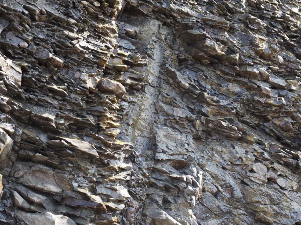
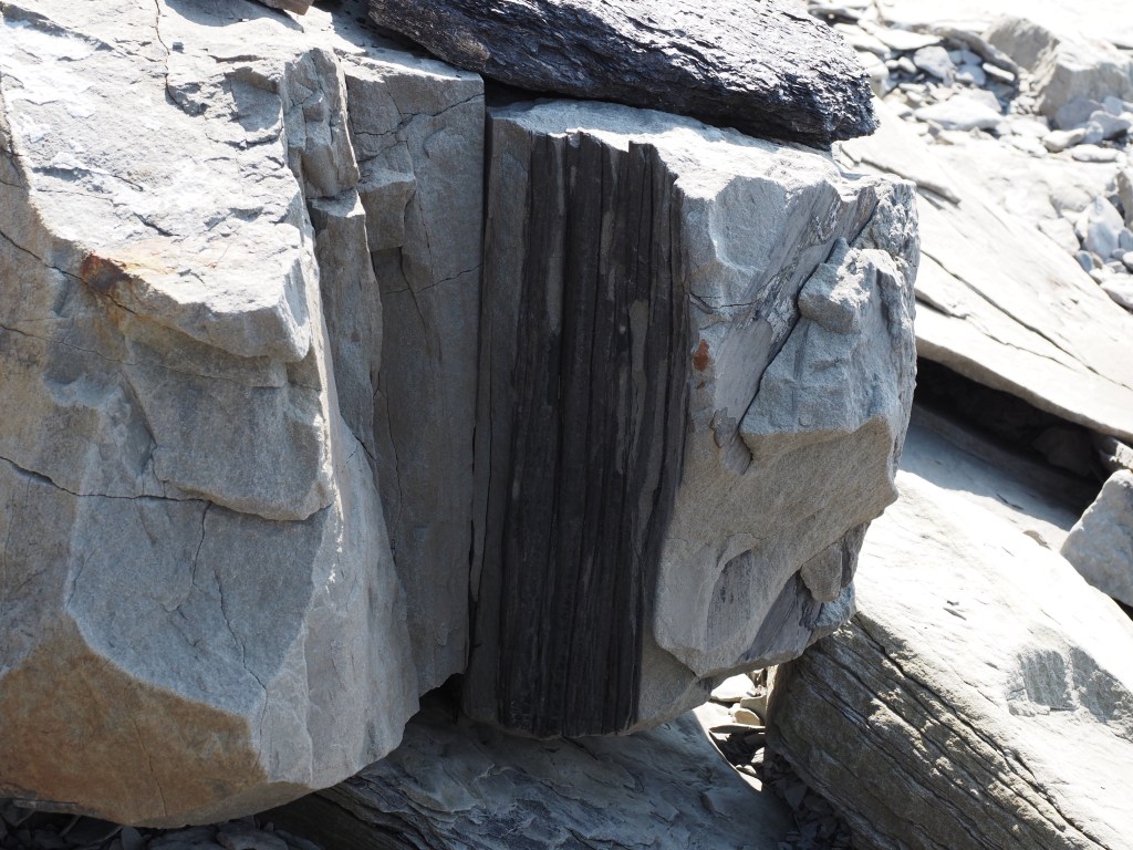
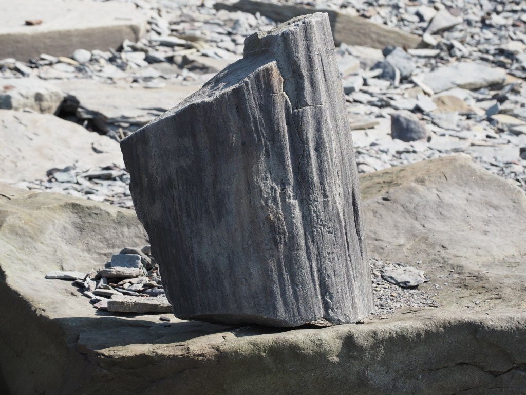
The layers of sediment are angular.
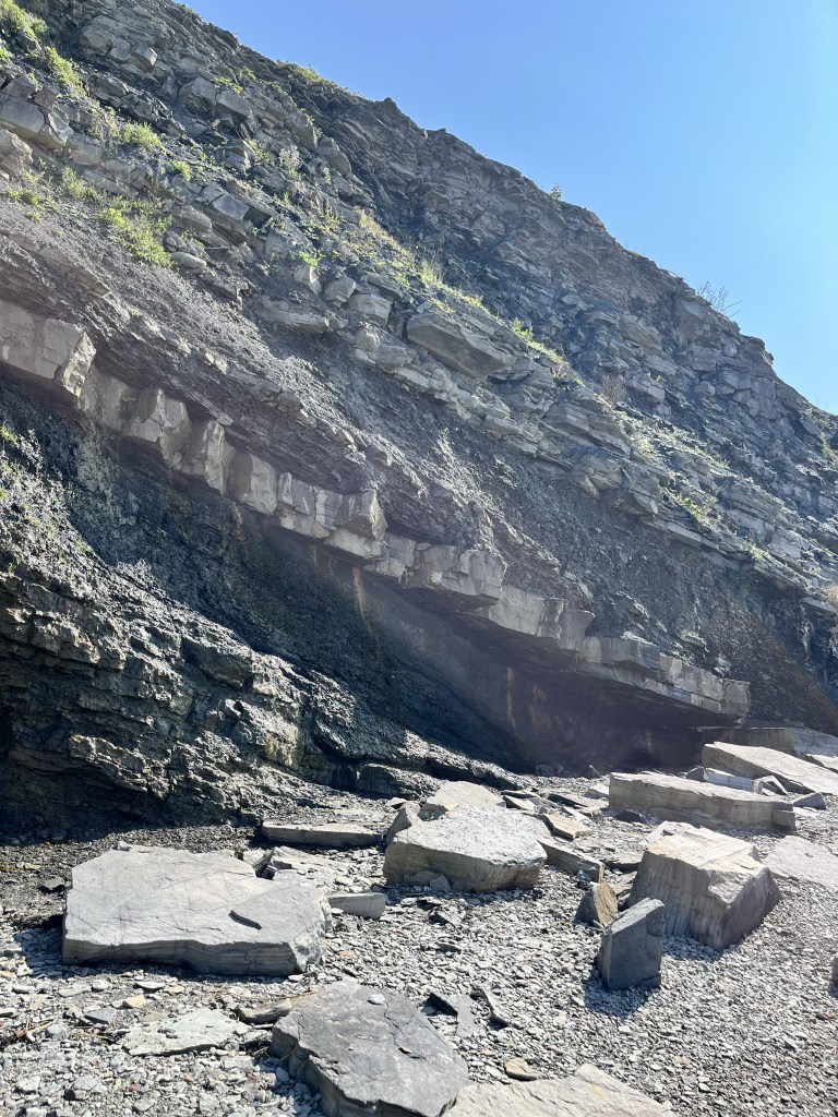
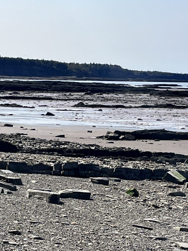
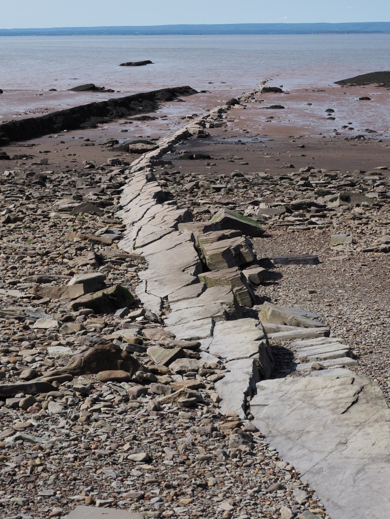
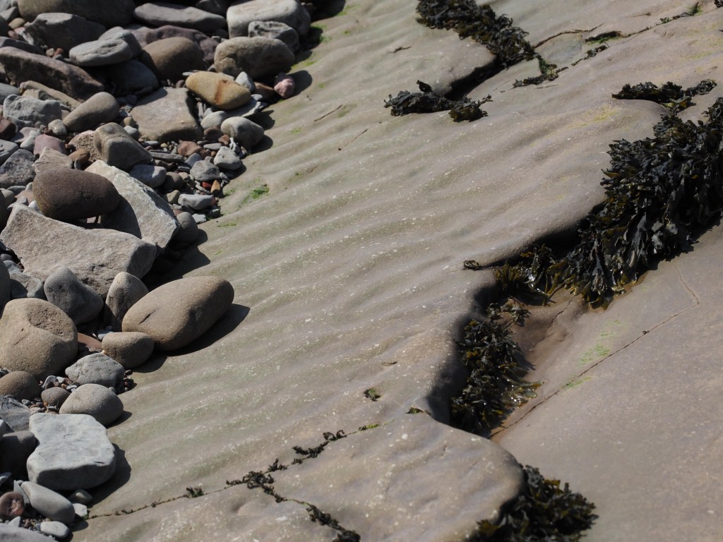
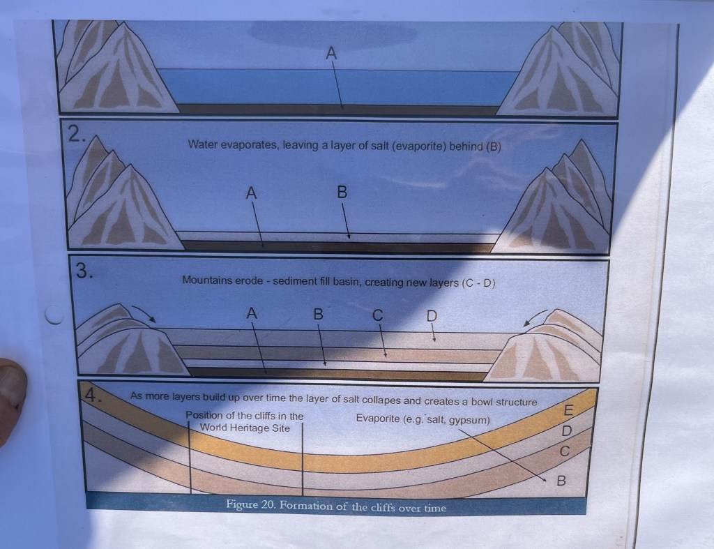
These layers result from a bowl formation explained below.
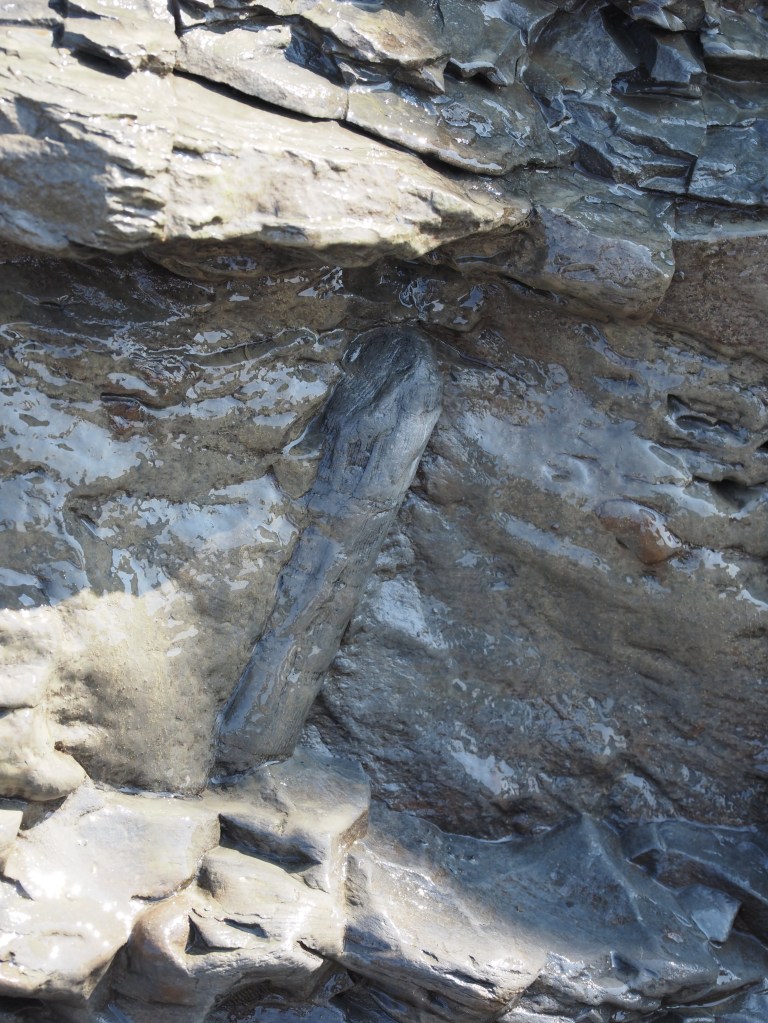
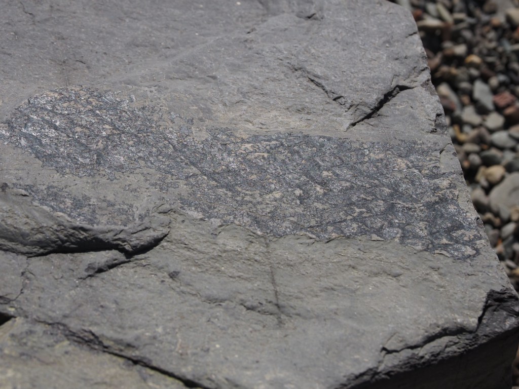
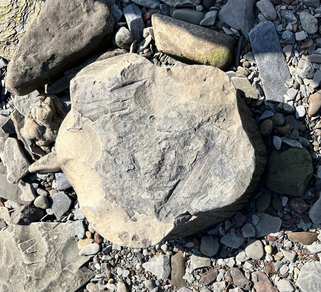
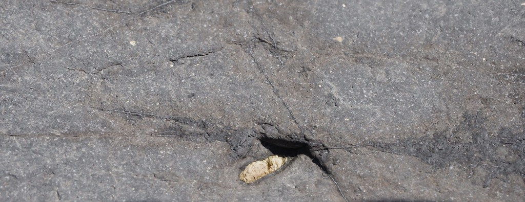
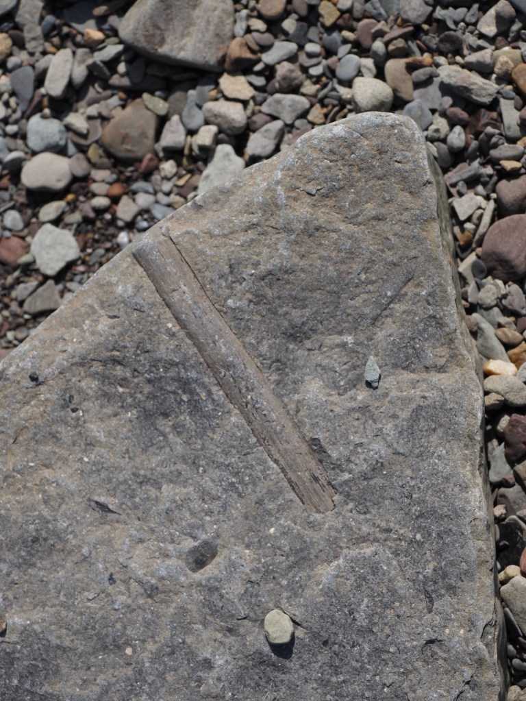
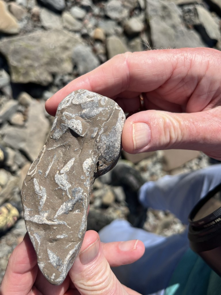
And there are fossils in these rock formations.
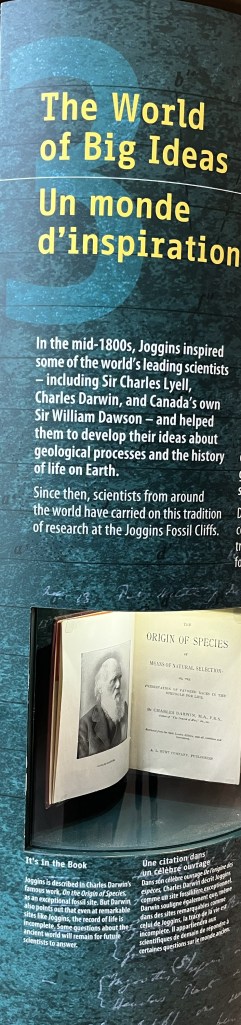
The museum is exceptional.
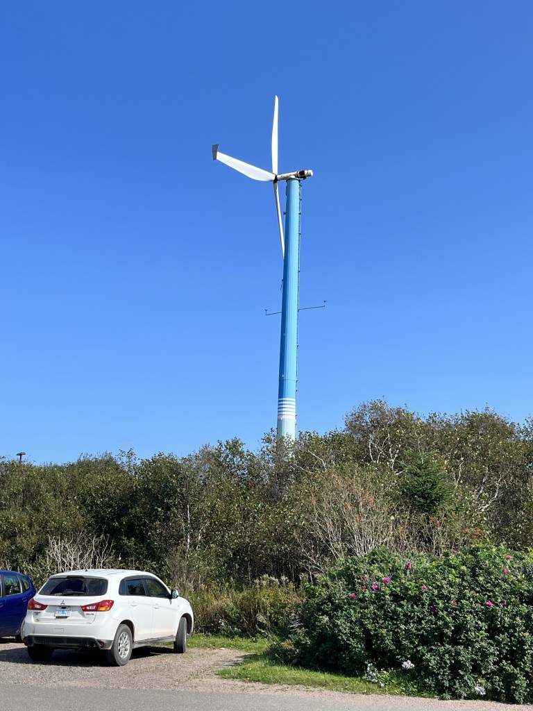
We are reminded of the big tides when we leave. The flagpole white marking indicates the height of the tides.

Leave a comment